


More Than 330 Vessels Have Wrecked At Or Near The Columbia River Bar. We've Created A Map.
- January 22, 2020
- John Harrison
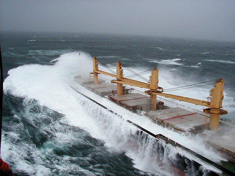
The Columbia River has a long history of shipwrecks. Its bar, where freshwater and saltwater meet, is one of the most difficult crossings of any river in the world, especially in the spring when the river’s volume is so great that the freshwater plume extends 100 miles to sea, and in the winter when storms lash the jumble of waves to 50 feet and higher.
Historically, the crossing was particularly difficult for ships under sail because the two natural channels across the bar forced them to turn sideways to the current and the wind. To this day it is not uncommon for ships to wait a week or longer for the bar to calm enough to allow a safe crossing.
The mouth of the Columbia and the near-shore areas to the north and south are littered with shipwrecks. More than 330 are known to have occurred. Some, like the Peter Iredale, which ran aground on the Oregon shore south of the river in 1906, are visible to this day.
Where were all those wrecks? The Council’s Technical and Web Data Specialist Eric Schrepel compiled a list from several sources and then created an interactive map with descriptions of each vessel and the date of the wreck. Follow the link to the Shipwrecks entry on our Columbia River History page, and have a look.