


Kootenai River Ecological Assessment Will Be a First
Measuring the impact of Libby Dam
- January 27, 2014
- John Harrison
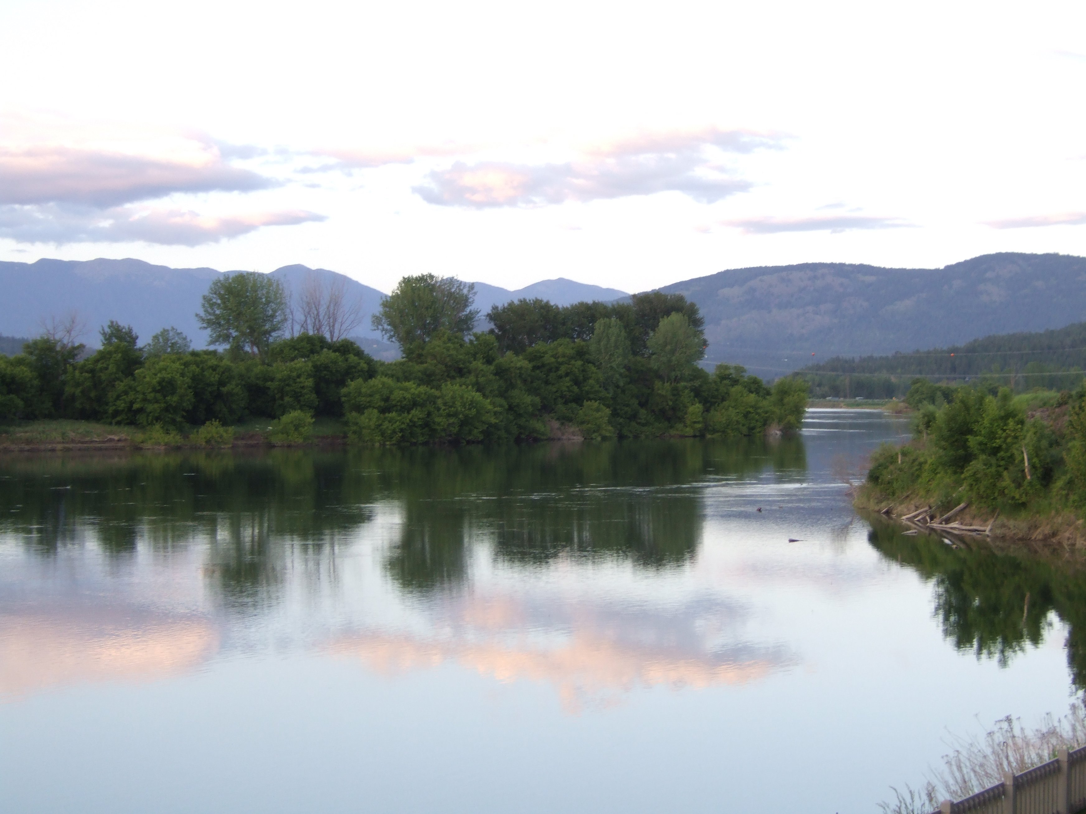
With the Council’s approval this month, the Kootenai Tribe of Idaho will lead development of a plan to improve ecological functions in the Kootenai River valley in northern Idaho. An assessment of wildlife losses and habitat impacts caused by the operation of Libby Dam will be the foundation of the plan.
It’s a big step because it represents the first time a mitigation plan will be developed using a set of indices that measure ecological integrity of specific reaches within the United States portion of the Kootenai River floodplain. The same set of loss-assessment tools that were used in the Kootenai are being tested in the Flathead River Basin to determine whether they could be used in the same manner to measure wildlife losses and ecological impacts from the operation of Hungry Horse Dam.
Others participating in developing the Kootenai plan include Montana Fish, Wildlife and Parks, the Confederated Salish and Kootenai Tribes, Idaho Department of Fish and Game, U.S. Forest Service, Army Corps of Engineers, and U.S. Fish and Wildlife Service.
The plan should be completed in early 2015.